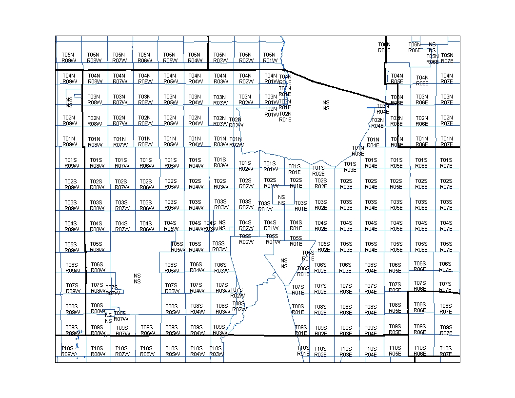
A PLSS Map is used to show the survey results of public land and its boundaries. This type of map contains boundary lines, plot numbers, and size information in accordance to survey results. This map shows the division of parcels of land and the labels to each one.
No comments:
Post a Comment