C.Callaway Map Catalog
Monday, May 23, 2011
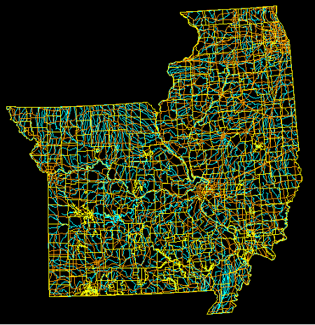
DLG Map
Source:
http://www.mapcruzin.com/free-geodata-shapefiles/usgs-geospatial-data-geodata-geographic-download.htm
A DLG map, stands for Digital Line Graph, it uses mainline digital lines and vectors in order to translate information and boundaries about the map.
No comments:
Post a Comment
Newer Post
Older Post
Home
Subscribe to:
Post Comments (Atom)
No comments:
Post a Comment