C.Callaway Map Catalog
Monday, May 23, 2011
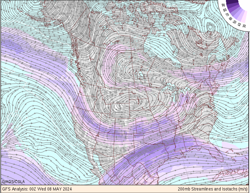
Isotachs Map
Source:
http://wxmaps.org/pix/avnmr.00hr.html
An Isotachs Map uses a series of lines and colors overlaid over the geograhical representation of land masses. This type of map like the one above is used to help analyse and combine complex meteorological information from across the globe
No comments:
Post a Comment
Newer Post
Older Post
Home
Subscribe to:
Post Comments (Atom)
No comments:
Post a Comment