Source: http://web.uvic.ca/vv/student/gardening/Surveying/surv3.html
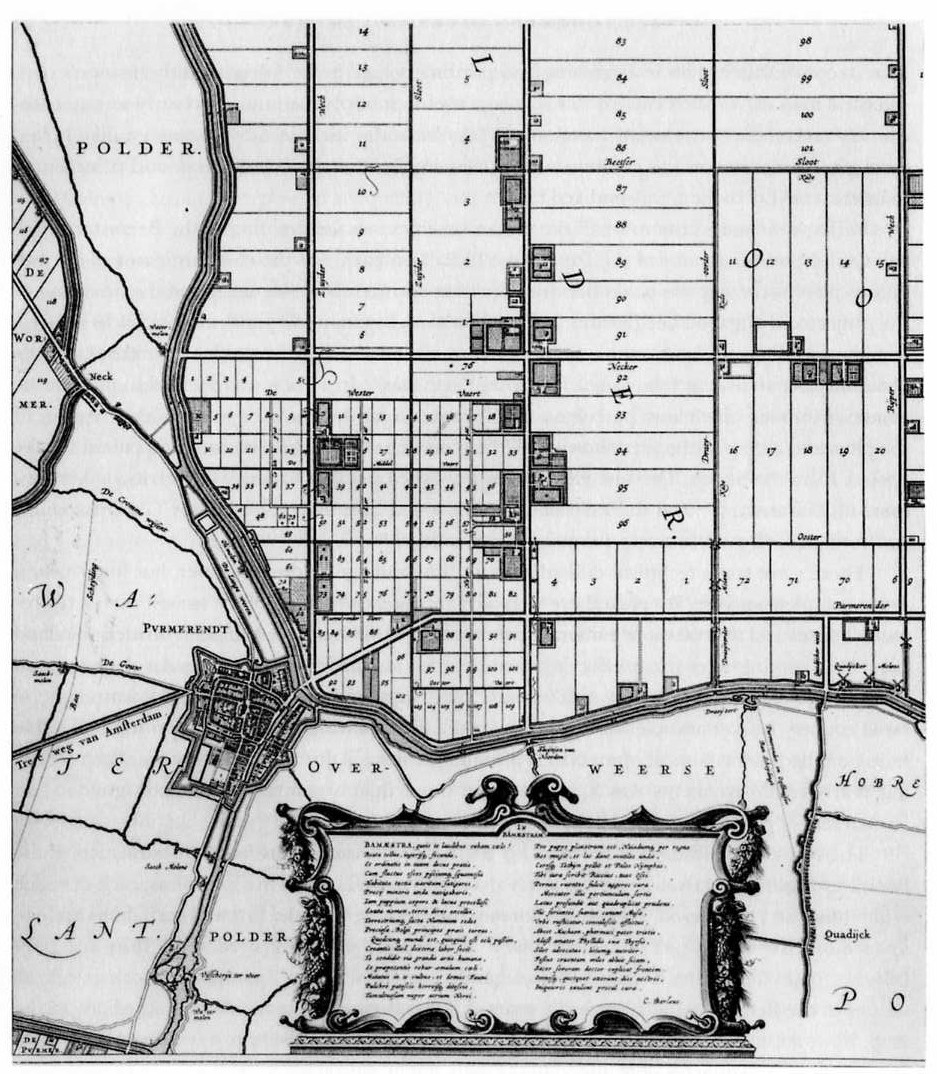
Cadastral maps show defined detail about land ownership and sizes over a set area. These maps use survey information in order to show land plots and there appropriate sizes for the land plots. The map above shows the information about surveyed land plots being developed and labels them to uniquely identify them.
No comments:
Post a Comment